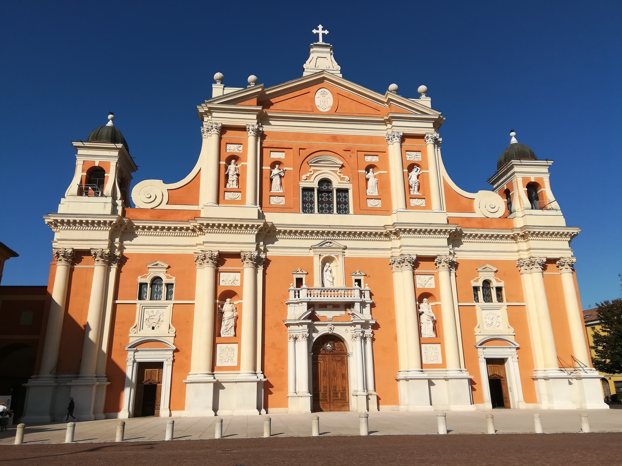
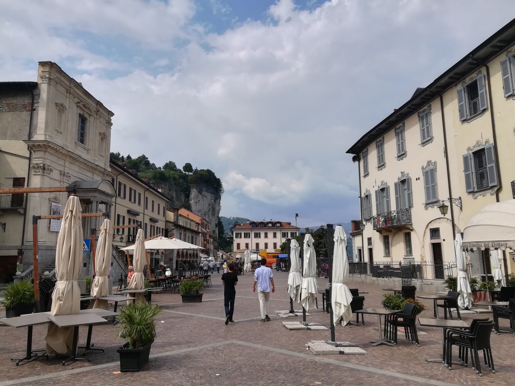
After leaving Berlin and arriving back in Italy, I reached Milan where I met up with my brother to take the train to the town of Arona, located right by the Lake Maggiore in Piemonte. Here, our friend Marco, with whom we had walked the Via Francigena three years before, was waiting for us in his hometown. So after leaving our stuff at his place. we then walked towards Arona's city center, just a few minutes walk from there. The town is located on the western bank of Lake Maggiore and has a great view of the surrounding towns and hills. As we walked along the lakeside we immediately noticed the impressive fortress of Angera built on a rocky outcrop across the lake on the other bank. In fact, the lake in that spot is just a few hundred meters wide and opens up only further north. After admiring the views we then reached the central Piazza del Popolo with the broletto, the gothic town hall, the church of Santa Maria di Loreto and the ancient port. Not far from the square, we then decided to take some pizza and focaccia slices to have for lunch which we took with us to the lakeside and enjoyed while sitting on a bench and admiring the view. After lunch, we then decided to head up the surrounding hills and reach the town's main landmark, the so-called Sancarlone. The Colossus of San Carlo Borromeo is a massive bronze statue measuring 35,10 meters in height (11,70m for the pedestal and 23,40 for the statue itself). Construction started in 1624 and took about 74 years to be completed, in 1698. It represents Charles Borromeo, former bishop of Milan who was canonized a saint just a few years after his death. The Borromeo family, originally from Tuscany, became a well-known and powerful banking family in Milan and later through political enterprise took possession of many areas around the Lake Maggiore, some of which are still in their possession to this day. Charles Borromeo was in fact born in Arona's castle and thus the construction of the statue was aptly decided right next to it on a hilltop. The statue was the world's largest which could be visited internally until the Statue of Liberty was built nearly two hundred years later. Frederic Auguste Bartholdi, the French artist who built the statue in New York, had in fact visited the Colossus of San Carlo Borromeo in order to study the statue's structure for his own project. So after reaching the top of the hill we paid the hefty entrance fee and started our ascent through the statue's interior. The stairs were really steep and tight and it was actually quite hard to reach the top, where the head is located; I wonder how many people desisted and stopped the climb altogether at one point. Despite the difficulty, after reaching the top we were able to admire the beautiful view through holes in the eyes, nose, and ears of the statue. After visiting this peculiar landmark, we then headed back down towards the town, admiring the three chapels of the Sacro Monte, the holy mount, which was built alongside the statue to commemorate the saint. Those three chapels were supposed to be a total of twelve but they were never completed. Before reaching the town, we took a path that led us up the rocky outcrop where the Castle of Arona once stood. It was here that Charles Borromeo was born during the 16th century. This castle, together with its twin, the Angera Castle built on the other side of the lake, was strategically important to control the access up and down the body of water. Unfortunately, the castle in Arona was completely destroyed when Napoleon's forces rushed through this part of Italy leaving death and devastation. Today a few stone walls and partially ruined towers are testimony to its past grandeur, however, the view from up there is unmissable. The lake, the castle of Angera, and the town of Arona below are all clearly visible and at that time, with the sun nearly setting an unforgettable panorama. Two funny goats grazing right by the fence also gave an additional photoshoot opportunity. As a storm seemed to be approaching fastly, we decided to head back down into town and go to our friend's house to prepare our stuff for the next few days. After packing in the car we were then ready to leave and after just one hour drive we had reached our friend's mountain house is the small village of Vanzone, in the Anzasca valley. Right before reaching his house, we stopped at the restaurant in the town's center to have dinner with typical local dishes. After a goodnight's sleep, the following morning we woke up to an unfortunately damp and rainy weather. We opted to head out either way and drove until we reached the town of Macugnaga, the valley's main touristic center. The valley has in fact the peculiarity of being culturally divided in two: the lower part is influenced by the Latin and Italian cultures while the higher part, of which Macugnaga is part, is influenced by the Walser culture, a germanic population that migrated into the area during the 12th and 13th centuries and have influenced the architecture and language of these areas. After reaching the center of the town, we parked our car and headed into a pastry shop to get some breakfast. The local architecture was not so visible here as most buildings had replaced older ones or built anew due to the town being a popular winter resort. We managed though to visit the local church, built at the end of the 18th century with a neoclassical interior. Right next to it we then found a bakery where we ordered some sandwiches to take on the hike with us. We got back in the car and drove to the nearby village of Borca from where we would start our walk. A few minutes after the start of our hike we passed by the Laghetto Delle Fate, Lake of the Fairies, an artificial lake at the base of the mountains. All around it were some sheep grazing which observed us as we passed while munching on their grass. From there we followed the trail (G7A) which ran alongside the creek coming down the mountain until we reached a group of ruined houses. This used to be a mining village as in this part of the valley, gold veins were found during the 16th and 17th centuries, and the ore was mined until world war 2. Continuing on, we crossed the creek several times until we reached a fork that indicated different trails and directions. We continued on the G7A which at that point starting to head steeply up the side of the mountain. At one point though, halfway up we noticed bushes of raspberries and blueberries growing wild all around. We then happily decided to spend the next half hour foraging the berries and eating them avidly. After a bit more walking we finally reached the Bivacco Lanti, a mountain hut set at 2125m. It is made up of stone blocks and was built in the 1960s by the Italian Alpine Club. Next to it is the more modern hut which had just recently been built. Bright red and built in metal and wood, it creates a stark contrast with its older counterpart. We visited both inside and much greatly preferred the modern one which actually seemed really cool and in other touristy parts of the world could easily charge you a hotel price to sleep in. Here, our friend Marco proposed we spend the night in the hut, however, we had left our sleeping bags in the house since we hadn't planned to sleep out because of the rain, and we also didn't bring any food with us. After a bit of debating whether or not to stay or go, we finally opted to head back down to the car as we would've either died of hunger or due to the cold at night. So after descending back down the same path, we took we eventually reached the car and then the house. The following morning, the weather looked much better though some low clouds still lingered throughout the day. We got in the car and drove back to the town of Macugnaga. There, we had breakfast and then walked around the nice typical wooden Walser houses all wonderfully decorated with flowers on the balconies. From there we then started our hike following a trail running alongside the Anza river which gives its name to the entire valley. At one point we then reached a large waterfall which gave an interesting backdrop to the view of the valley. Onwards the path became steeper and winded its way up through a rocky territory with a few trees here and there. We were now clearly in view of the impressive massif of the Monte Rosa, the second-highest in Europe after the Monte Bianco. Unfortunately, its peak was covered by clouds but it looked really impressive nonetheless. Not long after we then reached the alpine hut, Bivacco Pala, set at 1950m above sea level. The view from here was incredible with the Monte Rosa in all its grandeur on one side and the Anzasca valley with Macugnaga down below on the other. We decided to take a break there and have lunch with the sandwiches we had brought with us. There was even a brief moment where the sun came out and we were able to take some really nice pictures of the panorama. After eating we then continued on along the path further up and still admiring the beauty of our surroundings. Finally, after about 4 hours since the start of our hike, we reached the Cima Faderhorn, a lesser peak 2477m high. A cross had been set on top of it, and from there we could easily spot Macugnaga way down below. As we took the end-of-hike photos, we were surprised that it had started snowing, just lightly, but still snowing. We weren't that high up but in fact, early September can be quite tricky in terms of weather particularly in the Alps. The snow stopped shortly after and it was time for us to head back down. We followed the same path we had come up with and a few hours later were back down where we had left the car. We got in and headed home for the night. The next day, we woke up with the sun shining but unfortunately were too tired to hike after yesterday's tough one. We decided to do a bit of sightseeing instead, and getting in the car, drove then to the small town of Ceppo Morelli where we visited the church of St John the Baptist dating to the 17th century. Further on we then stopped at the small town of Borca where a museum was set inside a traditional wooden Walser house. From here we were now able to spot the Monte Rosa finally free of clouds. Then we drove on and reached once more Macugnaga. We parked the car and walked around the city center, then followed a trail and reach the small hamlet of Pecetto. Here we found a nice waterfall, the Cascate del Tambac, and we decided to have lunch there. At one point I even dared to jump in the water which was extremely cold but refreshing as the sun had started heating us up. Just below the waterfall we then passed by the so-called Old Church, to distinguish it from the New Church in Macugnaga's city center. This old building dates to the 14th century and used to be the main church of the local community. Next to it is a linden tree dating to the 13th century which is a national monument. It was under it that the town meetings were held back in the day. After walking around for a bit we then got back in the car and drove back to Ceppo Morelli where we stopped to visit its ancient bridge, the Ponte Prea. Dating to the middle ages it consists of a single arch spanning the banks of the Anza river. It is rather unknown but of rare beauty and a nice backdrop to a photo shoot. It was then time to head back for dinner and then sleep for our last night in the valley. The next day was in fact our last one, and obviously, the sun was shining brightly with not a single sight of a cloud. We, therefore, took one last tour of Macugnaga and take the opportunity to take pictures of the Monte Rosa in its full beauty with the snow-capped peaks starkly contrasting with the bright blue sky. Then we drove back all the way to Arona where we said goodbye to our friend and took the next train to Milan, from there I then took the next ride back to my hometown Vicenza.
 |
| The lakeside in Arona |
 |
| The central Piazza del Popolo |
 |
| View of the Angera Castle across the lake |
 |
| The Colossus of San Carlo Borromeo |
 |
| View from the interior of the statue |
 |
| Viw of the old town of Arona |
 |
| The ruins of the Castle of Arona |
 |
| A goat and Arona |
 |
| Following the G7A trail to the Bivacco Lanti |
 |
| The stream surrounded by snow capped mountains |
 |
| The Bivacco Lanti |
 |
| On the way back down from the mountain hut |
 |
| The church in Macugnaga |
 |
| Traditional architecture in Macugnaga |
 |
| More vernacular houses |
 |
| The waterfall along our second hike |
 |
| View from the Bivacco Pala |
 |
| View of the Monte Rosa covered by clouds |
 |
| Faderhorn peak at 2477m |
 |
| Walser architecture in Borca with the Monte Rosa in the background |
 |
| Another view of the traditional house in Borca |
 |
| Sunny Macugnaga |
 |
| The Cascate del Tambac waterfall |
 |
| View of the Pecetto hamlet in Macugnaga |
 |
| The 14th century Old Church of Pecetto |
 |
| The medieval bridge, Ponte Prea, in Ceppo Morelli |
 |
| Pecetto and the Monte Rosa in a crystal clear blue sky |